Admiralty Sailing Directions NP70 West Indies Pilot, Vol 1
Bermuda, Bahamas, Turks and Caicos Islands, Florida Strait and Cays, Hispaniola, Cuba, Jamaica and Cayman Islands
West Indies Pilot Vol. I (NP 70) in the British Admiralty Sailing Directions series. It covers the West Indies, comprising Bermuda, Bahamas, Turks, and Caicos Islands, Florida Strait and Cays, Hispaniola, Cuba, Jamaica, and the Cayman Islands.
About Admiralty Sailing Directions (ASD)
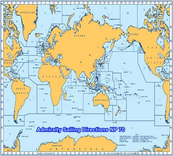
ADMIRALTY Sailing Directions (Pilots) provide essential information to support port entry and coastal navigation for all classes of ships at sea. Split across 76 volumes, coverage includes the world’s main commercial shipping routes and ports.
Each volume of Sailing Directions offers:
- Information on navigational hazards, buoyage, pilotage, regulations, general notes on countries, port facilities, seasonal currents, ice, and climatic conditions. This information, when used alongside official ADMIRALTY charts, can help to increase situational awareness on the bridge.
- High-quality diagrams and photography to help bridge-crews understand critical information during the passage planning stage.
- Worldwide official coverage to support safe and compliant navigation within main commercial shipping routes and ports. This coverage is split across 76 volumes for purchase flexibility.
See full details on Amazon
In addition to paper format, each volume of ADMIRALTY Sailing Directions is available as an ADMIRALTY e-Nautical Publication (AENP). AENPs bring improved efficiency, accuracy, and access to information bridge crews need through electronic NM updates and simple search functionality. (Please Note: Admiralty e-NPs are not downloaded directly from the site. All e-NPs need to be assigned once it has been purchased.)

e-NP:
Admiralty e-NPs are not downloaded direct from this site. The e-NP Program will be mailed to you from Maryland Nautical Sales and a User Name and Password will be emailed direct from the United Kingdom Hydrographic Office. Once the e-NP Program is received and activated please notify Maryland Nautical Sales. Your e-NP permits will then be created and emailed.
If it is preferred to download the e-NP program from the Admiralty ftp site please download from the below link.
Download ADMIRALTY e-Nautical Publications
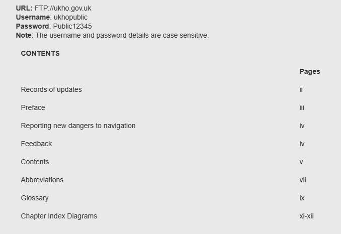
Admiralty digital products are available via our public FTP download site using the following settings:
Often referred to as Pilots, Sailing Directions are designed for use by the merchant mariner on all classes of ocean-going vessels with essential information on all aspects of navigation. Sailing Directions are complementary to Admiralty Standard Nautical Charts and provide worldwide coverage in 74 volumes.
Each publication contains quality color photography and views, as well as information on navigational hazards, buoyage, meteorological data, details of pilotage, regulations, port facilities, and guides to major port entry.
New Editions of Admiralty Sailing Directions are published on a regular basis. Navigationally significant information for these publications is issued via the Admiralty Notices to Mariner’s weekly bulletin (Section IV).
NP70
Publication Details
- Number NP70
- Title West Indies Pilot Vol 1
- Sub Title n/a
- Type Sailing Directions (Pilots)
- SubType
- Edition No 8
- The pub Year 2021
ADMIRALTY Sailing Directions (Pilots) provide essential information to support port entry and coastal navigation for all classes of ships at sea. Split across 76 volumes, coverage includes the world’s main commercial shipping routes and ports.

Each volume of Sailing Directions offers:
- Information on navigational hazards, buoyage, pilotage, regulations, general notes on countries, port facilities, seasonal currents, ice, and climatic conditions. This information, when used alongside official ADMIRALTY charts, can help to increase situational awareness on the bridge.
- High-quality diagrams and photography to help bridge-crews understand critical information during the passage planning stage.
- Worldwide official coverage to support safe and compliant navigation within main commercial shipping routes and ports. This coverage is split across 76 volumes for purchase flexibility.
Download Now